Llogara Pass and Beyond
Llogara Pass is the gateway drug. It is the route we recommend to anyone who asks “where should I start in Albania?” because it delivers the essential Albanian driving experience — drama, beauty, and mild absurdity — in a half-day package that requires no special vehicle and no off-road expertise. You drive up on smooth asphalt, you poke around on forest tracks at the top, you come back down to the coast in time for a swim. Nobody gets hurt. Nobody breaks anything. Everybody wants to do more.
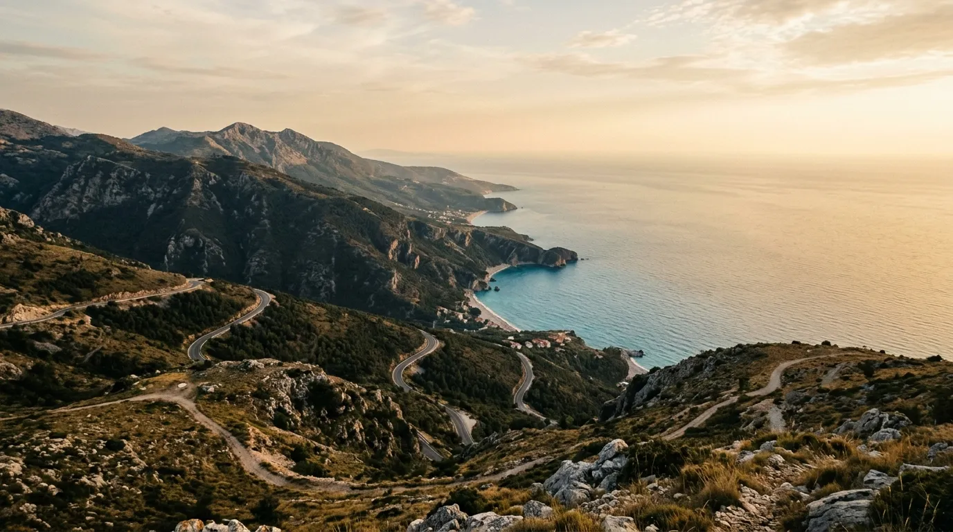
The pass itself sits at 1,027 metres on the SH8 between Vlora and the Albanian Riviera. The paved road is excellent — a proper mountain highway with switchbacks, tunnels of overhanging pine, and viewpoints that stop conversation. At the summit, the forest breaks open and the Ionian Sea appears 1,000 metres below, stretching to Corfu and the Greek coast. This is one of those views that makes you pull over not because the map says to, but because your brain insists.
But the paved road is just the access. What interests us is the network of unpaved tracks that branch off from the pass into the Llogara National Park forest. Military roads from the Hoxha era, shepherd tracks to summer pastures, logging paths that the forest is slowly reclaiming. They add up to about 45 km of driveable track, all within a compact area, all accessible in a vehicle with basic clearance.
The tracks
Caesar’s Pass military road
The longest and most interesting track starts 2 km south of the Llogara summit, at an unsigned junction on the west side of the SH8 (40.1917 degrees N, 19.5750 degrees E). This is locally known as the Caesar’s Pass road — named not for Julius Caesar but for the Albanian name of a ridge feature, though the association has stuck and every restaurant menu at the pass now claims Caesar marched this way.
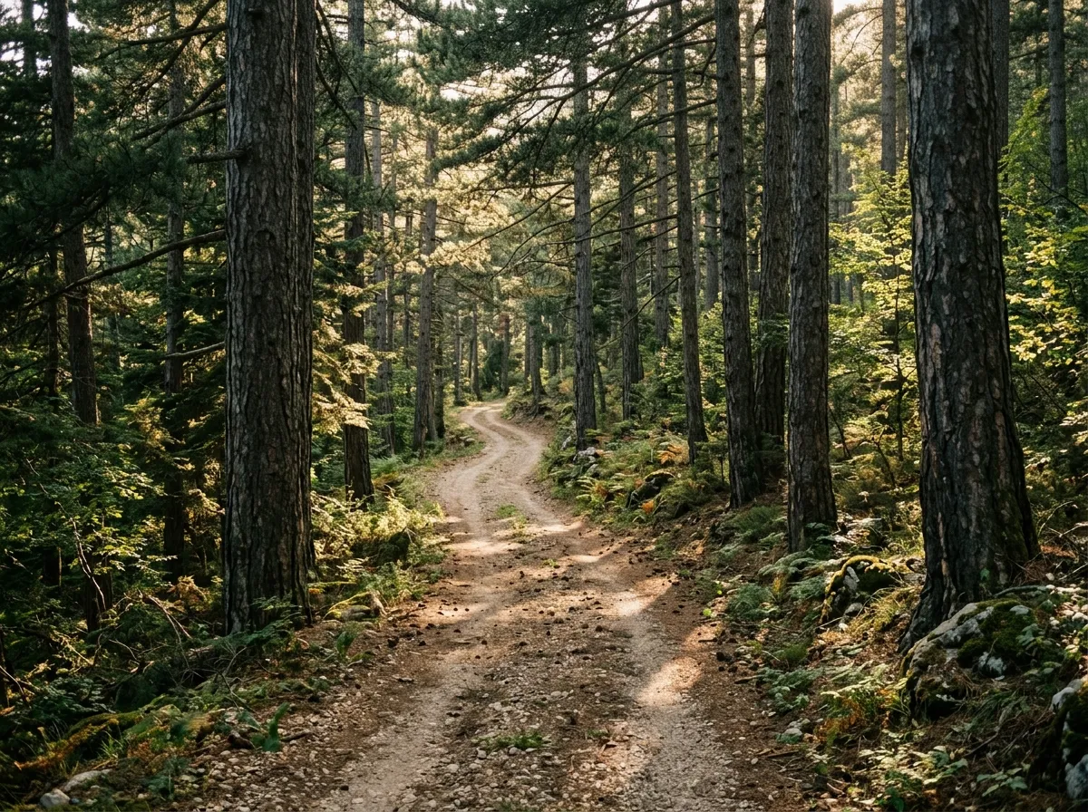
The track heads west into dense forest of Bosnian pine and Mediterranean fir. The surface is compacted earth and gravel, one lane, with grass growing in the centre — the universal sign of low traffic. For the first 3 km, the road contours along the ridgeline at approximately 900 metres, climbing gradually through forest that blocks most of the light. The trees here are magnificent — some of the Bosnian pines are visibly old, their trunks massive and their canopies sculpted by the same wind that shapes the flag trees at the summit.
At km 3.5, the track crosses a saddle and the forest opens briefly to reveal the western coast — the Karaburun Peninsula and the open Adriatic. This is the most photogenic moment on the route: dense forest framing a window of blue sea and bare limestone peninsula. In the other direction, the Ceraunian Mountains rise in a wall of grey rock.
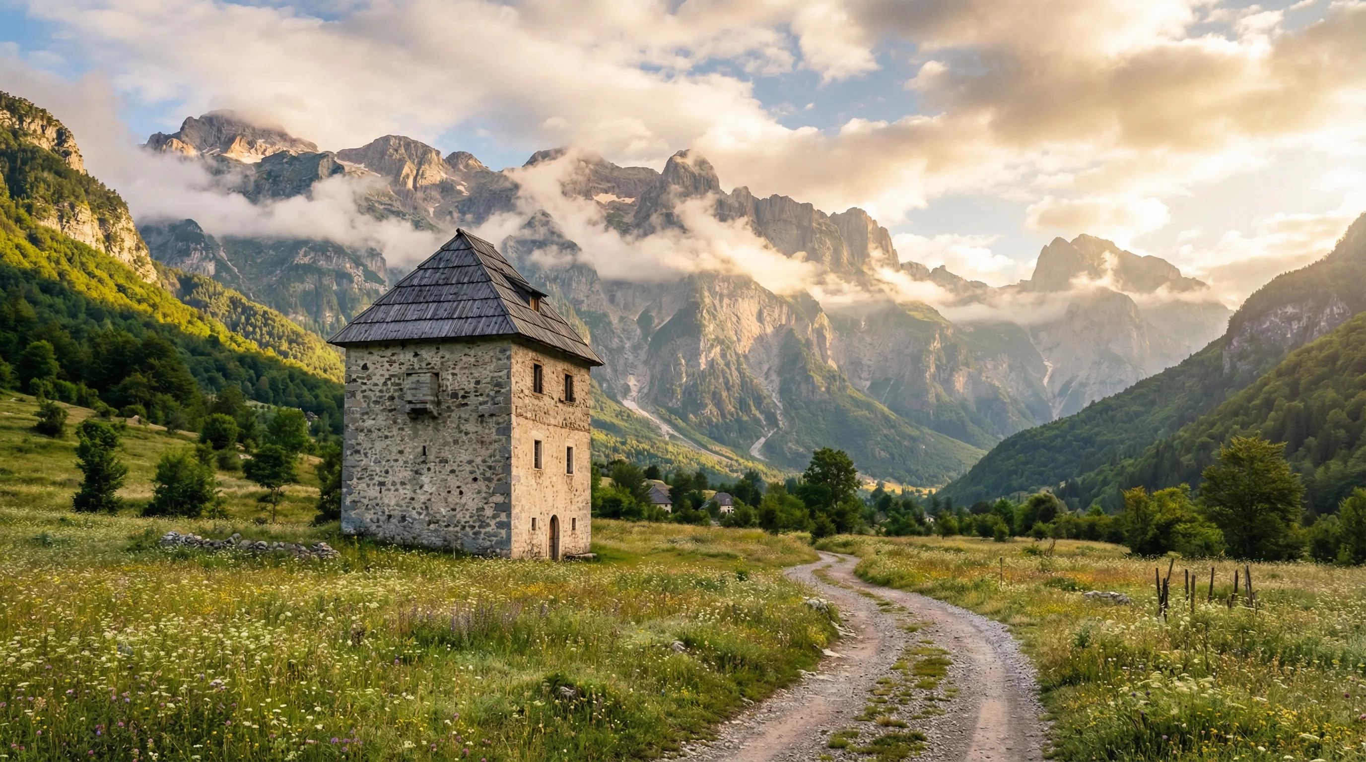
The track continues west for another 4 km before ending at a shepherd settlement — a collection of stone shelters and corrals that are occupied seasonally. In summer, you may encounter flocks and their guardian dogs. The dogs are livestock guardians, not pets, and they take their work seriously. Stay in the vehicle when passing close to flocks, sound your horn gently, and wait for the shepherd to call the dogs off. This is standard procedure throughout the Balkans.
Total out-and-back: approximately 15 km. Driving time: 1 hour each way, allowing for stops.
Karaburun ridgeline track
A second track leaves the SH8 approximately 4 km south of the summit (40.1750 degrees N, 19.5917 degrees E), heading southwest along the ridgeline toward the Karaburun Peninsula. This track is more exposed than the Caesar’s Pass road — it runs along a bare limestone ridge with views to both the Adriatic (west) and the Ionian (east). The surface is rockier, with exposed bedrock in places, but the gradient is gentle.
The track is driveable for approximately 8 km before it deteriorates into a footpath. The turning point is a ruined military bunker — one of the many thousands that Hoxha’s regime scattered across Albania — which provides both a destination and a flat space to turn around.
The views from this ridge are extraordinary. On a clear day, you can see the Italian coast across the Adriatic to the west and the Greek island of Corfu to the south. The Karaburun Peninsula extends below like a bare limestone spine, its ridgeline dropping to the sea in a cascade of cliffs. It is one of the most undeveloped stretches of Mediterranean coast in existence.
Total out-and-back: approximately 16 km. Driving time: 45 minutes each way.
Forest loop tracks
Several shorter tracks branch off the SH8 between the summit and the southern descent. Most lead to picnic clearings, viewpoints, or dead ends at logging landings. None exceeds 3 km. All are gentle, shaded, and useful primarily as places to stop and walk.
The most worthwhile is a 2 km track that leaves the SH8 at 40.1833 degrees N, 19.5833 degrees E and leads to a clearing with views of the entire pass from above. The clearing is ringed by flag-shaped Bosnian pines — their canopies grown permanently sideways by the persistent sea wind. These trees are Llogara’s most recognizable feature, and the clearing is the best place to photograph them without other tourists in the frame.
The pass road itself
It would be dishonest to write about Llogara without mentioning the paved road, because it is genuinely outstanding. The SH8 climbs from the coast at Orikum (near Vlora) to the 1,027 metre summit in approximately 18 km of mountain highway. The road is well-engineered by Albanian standards — good asphalt, proper drainage, reasonable width — and it passes through a progression of vegetation zones that would normally require a day’s hiking to traverse: coastal maquis, Mediterranean forest, sub-alpine pine, and the wind-blasted summit ridge.
The switchbacks on the southern descent toward Dhermi and the Riviera are the highlight. The road drops from the summit to sea level in 12 km, with the Ionian Sea filling the windshield at every bend. In late afternoon light, the water goes from blue to gold, and the descent feels like driving into a painting.
This is a popular road. Tour buses, local traffic, and motorcyclists all use it, and the width on the switchbacks requires attention. But it is nowhere near as congested as its equivalent in, say, Montenegro or Croatia, and it moves at a pace that allows appreciation.
Practical details
| Item | Detail |
|---|---|
| Total track distance | ~45 km (all tracks combined) |
| Driving time | 3-4 hours for all tracks, plus 1 hour for the paved pass |
| Fuel | Fill up in Vlora (north) or use SH8 stations near Orikum. No fuel on the tracks. |
| Water | 1L per person. Restaurants at the summit sell water and coffee. |
| Season | April through November. Tracks can be muddy after rain but dry fast. |
| Mobile coverage | Good at the summit. Patchy on the forest tracks. |
| Cost | No entry fees. Llogara National Park has no enforced gate. |
Vehicle selection
A high-clearance 2WD handles everything here. We drove it in a Dacia Duster 2WD and had no moments of concern. The surfaces are mostly compacted earth and gravel, the gradients are moderate, and the tracks are wide enough for error. A standard sedan could manage the first kilometre of each track in dry conditions, but we would not recommend it — ground clearance under 170 mm will find contact points on the rockier sections.
A 4x4 is unnecessary but makes the experience more relaxed, particularly if you are visiting after rain. The forest tracks hold moisture in their shaded sections, and mud ruts can persist for a day or two after a storm.
Tire pressure: standard road pressure is fine for these tracks. The surfaces are not abrasive enough to warrant deflation.
Why this route matters
Llogara is not dramatic enough to headline a trip to Albania. There are no river crossings, no high-altitude passes, no sections where the word “challenging” applies. What it offers instead is calibration. If you are planning to drive the Valbona to Theth crossing, Llogara is where you learn what Albanian forest tracks feel like under your tires. If you are heading south to the Riviera Coastal Tracks, Llogara is the warm-up that confirms your vehicle and your nerve are adequate.
And if you are not planning any of those things — if you are just driving the coast and want to stretch your legs and your vehicle for a few hours — Llogara delivers a disproportionate amount of scenery and experience for a half-day investment.
Return to the Albania hub for the full country overview.