A field guide to the roads less paved
Off-road route documentation across 13 countries and 4 continents
Regional Index
13 countries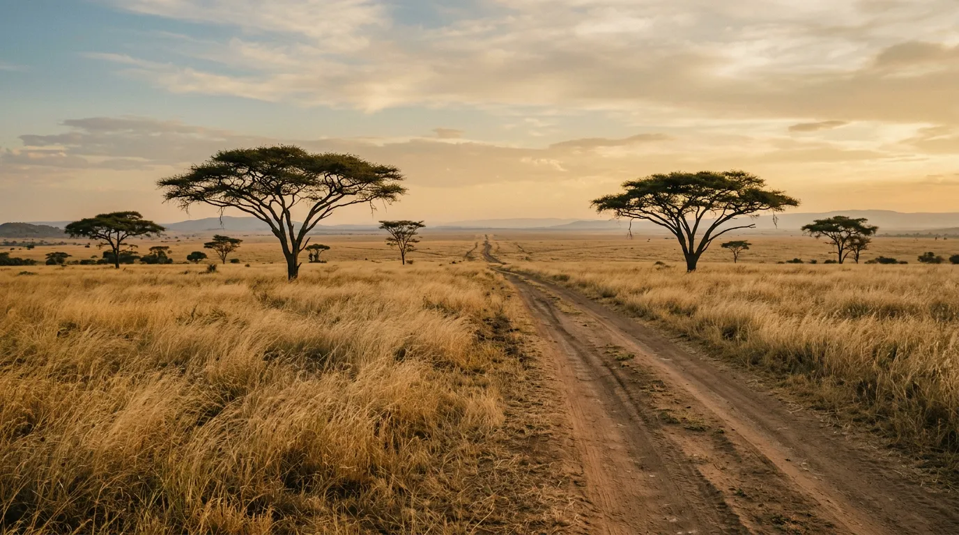
A field guide to the roads less paved
Somewhere between the last petrol station and the next GPS waypoint, the road surface changes. Asphalt gives way to gravel. Gravel gives way to dirt. Dirt gives way to something that might be a road, or might be a dry riverbed, or might be the path a goat herd used last Tuesday. This is where we start paying attention.
TrailBound is a route documentation project. We drive unpaved roads in 13 countries across the Middle East, Africa, the Caucasus, and Europe, and we write down everything that matters: the distances, the fuel stops, the tire pressures, the GPS coordinates, the places where the map disagrees with reality. We classify routes by difficulty, terrain type, and vehicle requirements, because “you need a good car” is not useful advice when you are standing at a rental counter trying to choose between a Suzuki Jimny and a Toyota Hilux.
We are not adventure influencers. We do not have a drone operator or a wardrobe budget. We are a small crew of drivers who have been doing this long enough to know that the most important piece of equipment on any off-road trip is accurate information about what lies ahead.

What we document
Every route on this site has been driven by at least one of us. We record four categories of information:
Terrain classification. Desert sand, gravel plain, rocky wadi, forest track, mountain switchback, river crossing. Each terrain type has different vehicle requirements, different tire pressure recommendations, and different ways of going wrong.
Vehicle requirements. We specify exactly what you need: 2WD sedan, high-clearance 2WD, 4x4 without low-range, or 4x4 with low-range. No guessing, no “an SUV should be fine.”
Logistics. Distance between fuel stops. Water availability. Cell coverage. Which offline map app actually has the tracks. Where to camp and where camping will get you a visit from a park ranger or a herd of curious camels.
Hazards and conditions. Seasonal closures, river crossing depths, sand sections, road construction, and the specific things that catch people out on each route.
Three routes worth your attention
We have documented 52 routes so far. Here are three that represent the range of what we cover.
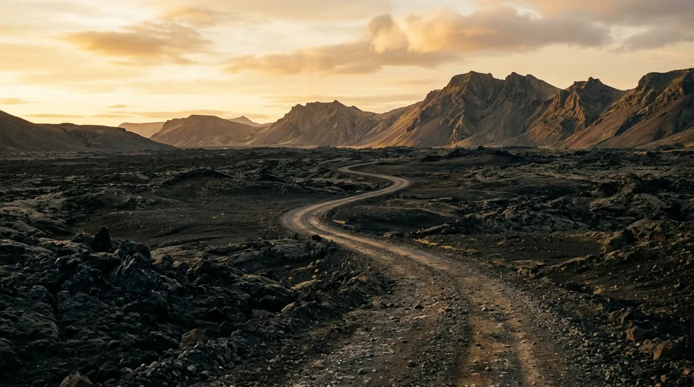
Wadi Rum Desert Tracks, Jordan
185 km of sand and rock through one of the most photogenic deserts on Earth. Sandstone formations the size of apartment blocks. Narrow canyons with Nabataean inscriptions on the walls. Lawrence of Arabia’s spring, which is a real place and not just a movie set. The tracks range from packed gravel to soft sand that will bury an unprepared vehicle to the axles. We drove it over two and a half days in October, which is the right time — summer temperatures reach 48 degrees Celsius and that is not a typo. Read the full route guide.
Tusheti Road, Georgia
Seventy kilometres that take six hours. The road to Tusheti via Abano Pass is the most dangerous regularly-used road we have driven anywhere. No guardrails. No barriers. Sheer drops of several hundred metres. A surface that alternates between loose gravel, mud, and exposed rock. The pass tops out at 2,900 metres and is open from June to October, weather permitting. We drove it in a rented Mitsubishi Pajero with white knuckles and an inappropriate number of stops to photograph the view. Read the full route guide.
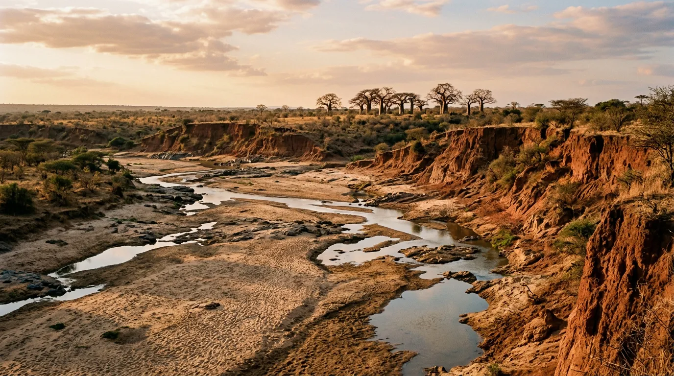
Baviaanskloof, South Africa
Two hundred kilometres through a UNESCO-listed gorge in the Eastern Cape. Fourteen river crossings, no cell signal for the entire length, and some of the clearest night skies in southern Africa. The Baviaanskloof is South Africa’s most famous 4x4 trail and it earns the reputation. We spent three days on it, camped at two of the backcountry sites, and saw exactly four other vehicles. Read the full route guide.
Regions we cover
Middle East and North Africa
Jordan, Morocco, and Oman. Desert pistes, mountain passes, wadi tracks, and the kind of heat that makes fuel planning a survival skill. Morocco alone has more documented off-road routes than most European countries combined — the Atlas passes and Sahara pistes have been drawing overlanders for decades. Oman is newer to the scene but catching up fast, with wadi driving and dune crossings that demand respect and proper technique.
Caucasus and Europe
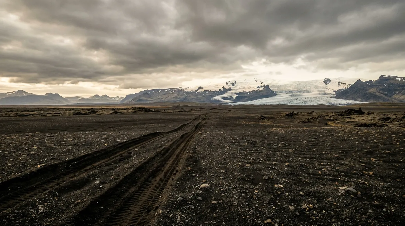
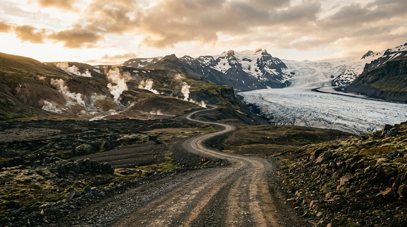
Georgia, Iceland, Albania, Montenegro, Romania, and Bosnia. The Caucasus and the Balkans share a useful quality: paved roads that are excellent, and unpaved roads that are spectacularly bad, with very little in between. Iceland’s F-roads are in a category of their own — the most regulated off-road driving in Europe, and some of the most otherworldly. Romania’s Carpathian forest tracks and Bosnia’s Dinaric highland roads are still genuinely undiscovered by most off-road travellers.
Sub-Saharan Africa
South Africa, Namibia, Tanzania, and Ethiopia. Africa is where off-road driving stops being a hobby and becomes the only way to get anywhere. Namibia’s gravel highway network is the continent’s great self-drive destination. Tanzania and Ethiopia offer routes that most people only experience from the passenger seat of a guided safari vehicle — we drove them ourselves and can tell you how.
Before you go
We maintain a growing collection of preparation guides that cover the practical questions every off-road trip raises. Which rental vehicle to pick and what to inspect before you sign the papers. Tire pressure, recovery gear, and navigation tools. The insurance fine print that most people skip until something goes wrong. And fuel range planning for routes where the next petrol station is 300 km away and your consumption just doubled because you are crawling over rocks at 15 km/h.
Start there if this is your first time driving off pavement. Start with the route guides if it is not.
How to use this site
Pick a country. Read the hub page for an overview of terrain, vehicle requirements, and seasonal access. Choose a route. Read the full guide. Check the difficulty rating, the vehicle specification, and the equipment list. Then go drive it and let us know what we got wrong.
We update our routes regularly. Conditions change — roads get graded, bridges wash out, parks change their access rules, rental companies update their fleets. If you have driven one of our routes recently and something has shifted, we want to hear about it. That is how the guides stay honest.